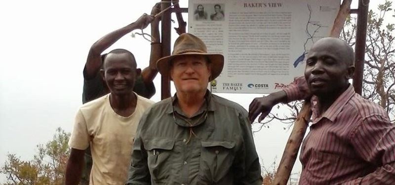
As the clouds rolled in, the team and I stood high up on the escarpment of western Uganda, overlooking Lake Albert. It was the same spot where Victorian explorer Sir Samuel White Baker stood one hundred and fifty years ago as he became the first European to view Albert Nyanza.
The point referred to on modern maps as Baker’s View is in fact several kilometers away from the actual location described by Baker in his personal diary. To the south is the Semliki River, due west is the Congo, and to the north is the Nile River delta where the Victoria Nile pours into a lake and then flows out through the Albert Nile (which Baker named for Prince Albert, consort to Queen Victoria). From there it’s a long journey to Cairo and Alexandria and into the Mediterranean.
After viewing the lake, Baker’s expedition turned north and travelled up the Victoria Nile to Murchison Falls and then back north for the Sudan. But what if Baker had turned south? What if he had found the Semliki River and followed it to the Lamia River, and followed the Lamia up to the glaciated peaks of the Rwenzori Mountains, the fabled ‘Mountains of the Moon’? Quite possibly Sir Samuel Baker might have returned to The Royal Geographical Society and argued with his contemporaries Speke, Grant and Burton, that not Lake Victoria (as per Speke and Grant’s theory) nor Lake Tanganyika (as per Burton’s), but in fact the Rwenzoris, was the true source of the mighty River Nile…

The 2008 SOLIO Mount Stanley Expedition explored this scenario.