On June 22, the morning after Luke and Louisette’s summer solstice party to celebrate the longest day of the year – here in the Yukon the sun did not set – we continued south.
The natural beauty of this stretch of the Yukon made me feel as if I was riding through an endless postcard. Dramatic mountains, wide rivers, tilted trees (known as a “drunken forest”) crawling with different animal species, and glacier-fed lakes made this stretch one of the most beautiful I have covered in all the Americas.
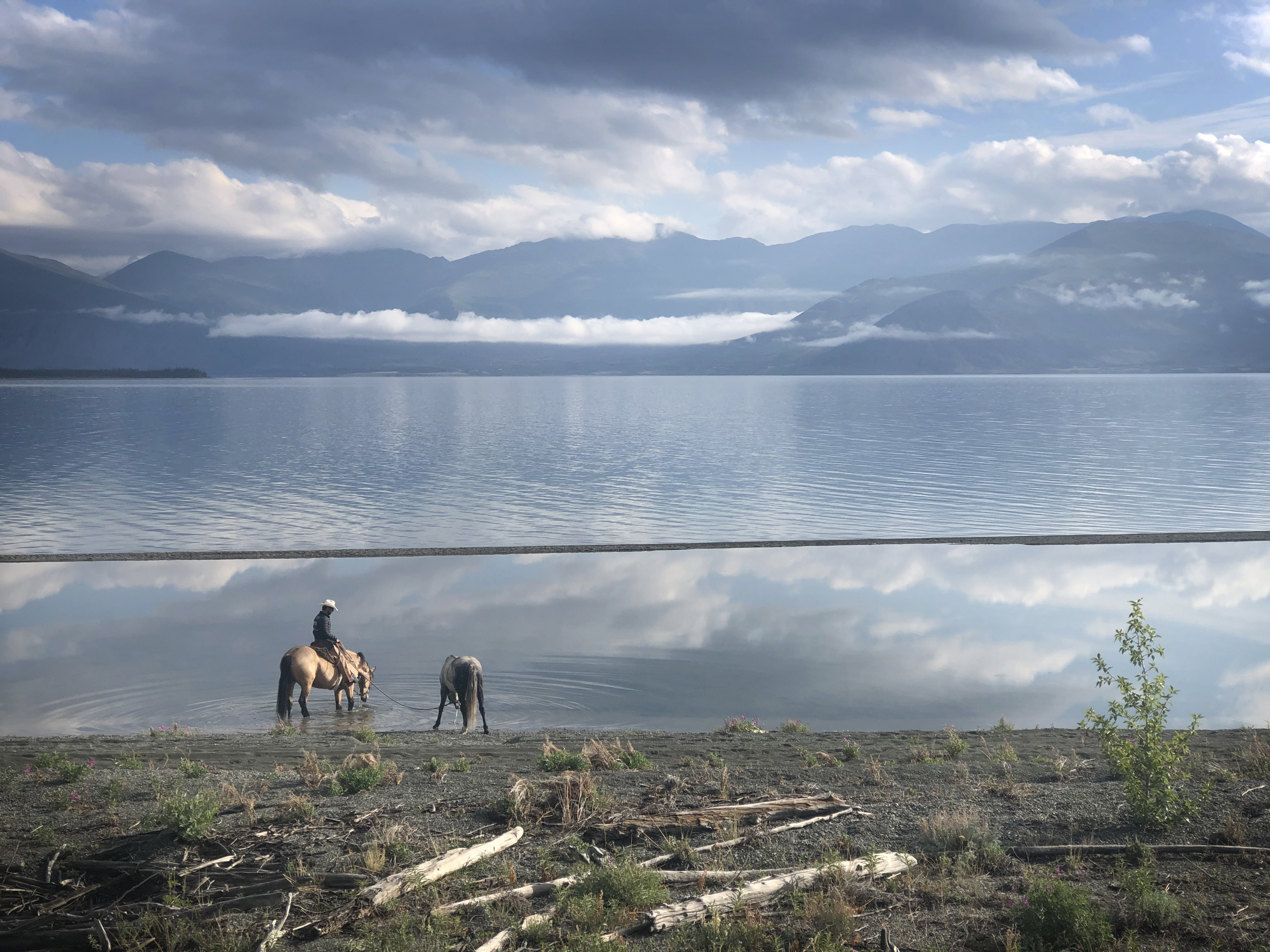
But the most spectacular views came during my ride around Kluane Lake. Flanked by Canada’s tallest mountains, the sparkling blue lake sits in Kluane National Park and Reserve, home to Canada’s highest peak (5,959-metre Mount Logan) and its largest ice field.
Although it stunningly displays the Yukon’s supreme and untouched natural beauty, it is also a perfect example of how climate change is affecting the North.
“The lake has dropped about two meters in the past couple of years,” said Luke before we left his house.
For more than 300 years, the Slims River carried the glacial runoff that fed Kluane Lake. But since the spring of 2016, the Kaskawulsh glacier has receded so much that its runoff no longer makes it to the Slims River, instead it began flowing down a new river.
“This has affected the people and animals that live here … we can’t fish in traditional spots anymore, spawning areas for whitefish are now above the water and the Slims River valley has become a desert with winds blowing sand across the highway,” said Luke.
With my head tilted down, I felt that sand hit me in the face for the hour it took me to cross the valley on horseback. It was apocalyptic. The lake, which has receded a full kilometer to leave islands now standing completely out of the water, was otherworldly. And sad.

